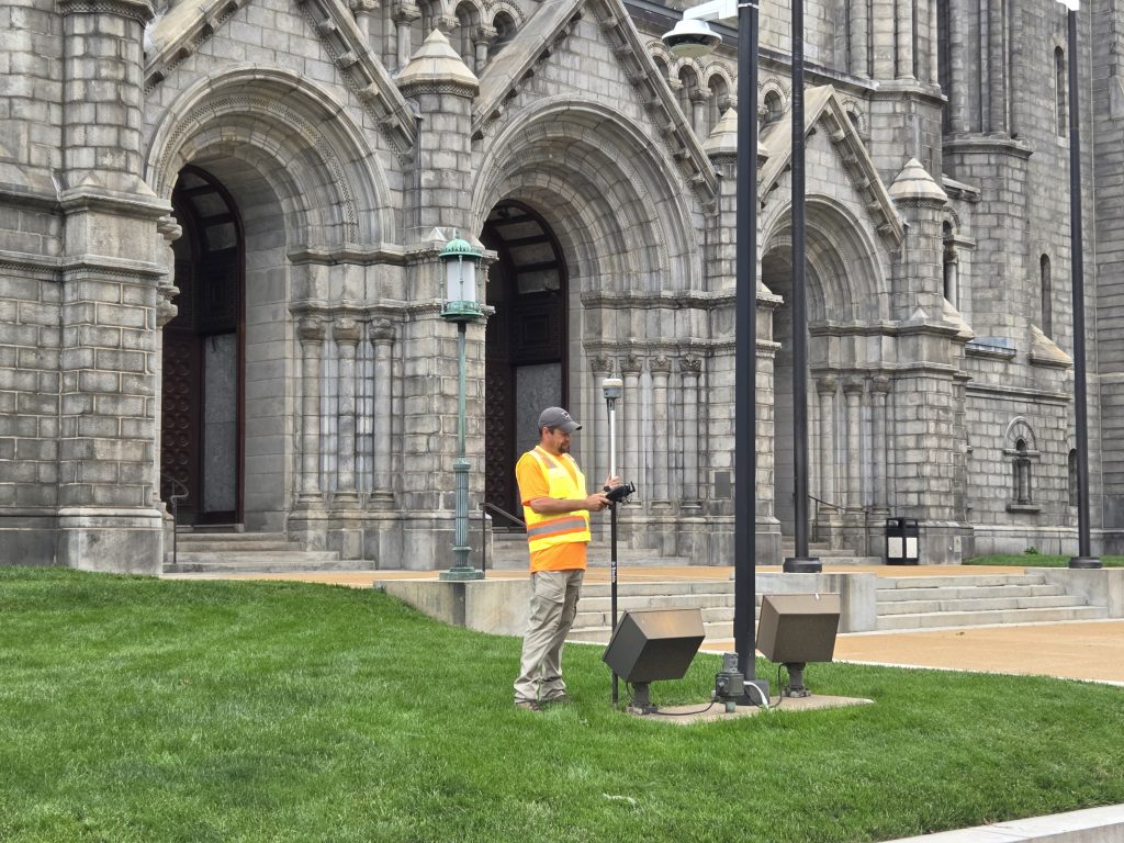
Our Services
We offer a variety of land surveys and drone services to fit all of your unique needs. We can customize your survey to include details that you require to get your project started.
What We Offer
Learn more about the range of services we provide.
ALTA Surveys
An ALTA survey is a detailed boundary survey required for commercial property transactions and follows strict standards set by the American Land Title Association and the National Society of Professional Surveyors. It includes boundary lines, easements, improvements, utilities, and other important land features. This survey is often required by lenders and title companies for due diligence and insurance purposes.
Boundary Surveys
A boundary survey is a type of land survey that accurately defines the legal boundaries of a specific parcel of land. It establishes the exact location of property corners and lines, ensuring that property ownership is clearly defined and can be legally documented. This is crucial for various purposes, including real estate transactions, property development, and resolving boundary disputes.
FEMA Letters
An Elevation Certificate is used to document the elevation of a building and its surrounding areas in relation to flood zones, providing information for floodplain management and insurance purposes. Letters of Map Revision, or LOMRs are used when a property owner believes there are inaccuracies or changes to the flood map that warrant an official revision.
Photogrammetry/ Aerial Photography
Aerial photography and photogrammetry work together to capture detailed images of the land from above and turn them into accurate maps or 3D models. Using drones or aircraft equipped with high-resolution cameras, surveyors collect overlapping images of the ground. Photogrammetry then analyzes those images to measure distances, calculate elevations, and produce precise spatial data. This method is efficient for covering large areas and is commonly used in mapping, construction planning, and environmental studies.
Plot Plans
A plot plan, also known as a site plan, is a drawing that illustrates the layout and features of your property, as well as planned improvements. A Plot Plan shows the proposed or existing improvements on a specific parcel of land. It includes structures, driveways, property lines, easements, setbacks, and utility connections, often required for building permits or zoning approvals. Plot plans help ensure that new construction complies with local codes and does not encroach on neighboring properties or restricted areas.
Topographic Surveys
A topographic survey maps the natural and man-made features of a piece of land, including elevations, contours, trees, buildings, and utility lines. It provides a detailed view of the terrain's shape and is often used for site planning, engineering design, and land development. These surveys help architects and engineers understand how the land lies and where structures can be best placed.
FAQ
What is a land survey?
Land surveying is the process of measuring land plots to create precise maps. Land surveys are used to officially determine property boundaries and prepare land for construction by recording existing geographic and man-made features. Surveyors may use lasers, optical instruments, levels, scanners, and even drones to do their work.
You can use the results of a land survey to determine how much a certain property is worth and how much it should be taxed. A survey can settle legal disputes over property boundaries. Your town or municipality usually keeps a copy of land surveys for local properties in the land recorder’s or tax assessor’s office.
What factors affect a land survey cost?
Factors like size, terrain and scope of services will affect the final cost of the survey.
What is the cost by survey type?
Different types of land surveys have different purposes and costs. Fencing and subdivision surveys are the least expensive since they have a straightforward purpose and are aided by existing records. ALTA (American Land Title Association) and new construction surveys are the most expensive because they’re the most thorough.
What Are The Benefits of Surveying Land?
Here are some benefits of hiring a land surveyor.
- Establish the exact size and shape of a property
- Determine the property value
- Solve boundary disputes
- Identify easements and rights-of-way
- Find ideal construction locations
Why not just use a property line app rather than hire a Professional Land Surveyor?
Property line apps offer a general idea of property boundaries, but they are not accurate enough for legal purposes or construction. GPS accuracy on smartphones can be limited, and environmental factors can affect signal reception. While some apps offer more detailed information, it’s always best to cross-reference with official sources like plats and surveys for accurate property line determinations.
How Do Surveyors Mark Property Lines?
Property markers, monuments or stakes are metal rods usually placed at every corner of the property, including any angle or change of direction of the boundary line. The location of each marker is typically shown on the drawing of the lot.
What is the Difference Between a Survey and a Boundary Survey?
A survey is a broad term for gathering information, while a boundary survey specifically focuses on defining property lines and corners. Land surveys can encompass various aspects like topography, structures and utilities, whereas boundary surveys are primarily concerned with establishing legal boundaries.
What are Some of the Factors that Can Affect How Quickly I Will Receive My Survey?
A surveyor begins by consulting existing survey documents. If there’s conflicting information within the documents or if there are no existing documents, they must research historical property lines before taking measurements. As a result, surveying can’t be completed in an afternoon.
A typical residential survey takes five to 10 days to turn around, but it can take up to three weeks for complex properties or comprehensive ALTA surveys. A surveyor may be able to complete a job in three to five days, but you be charged a rush fee. Last-minute surveying services are not the norm. Additionally, weather can affect how quickly a survey can be completed.